1974 Map w/ Southern Crossing & Marina
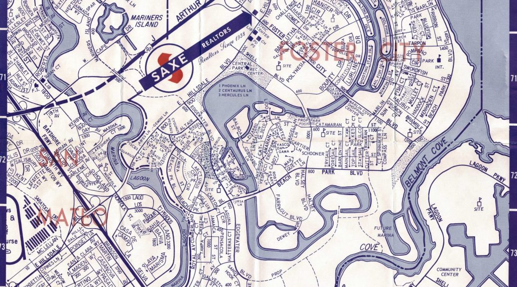
Today we present this 1974 Map of Foster City found in the Foster City Historical Society archives.
This is the time period before Neighborhoods 6, 7, and 8 were planned or given street names.
You can see in this map at the south end of Edgewater Blvd the Southern Crossing over to Belmont and Redwood Shores. 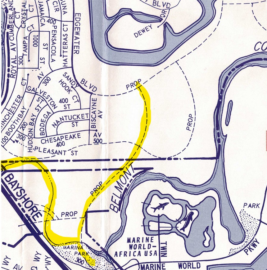
You can also see Marine World Africa USA’s to the South. Note “Twin Dolphin” leads to the Dolphins!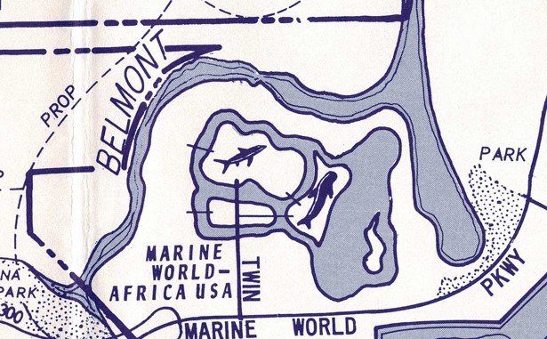
There is also a never completed “Future Marina” where Sea Cloud II is today. 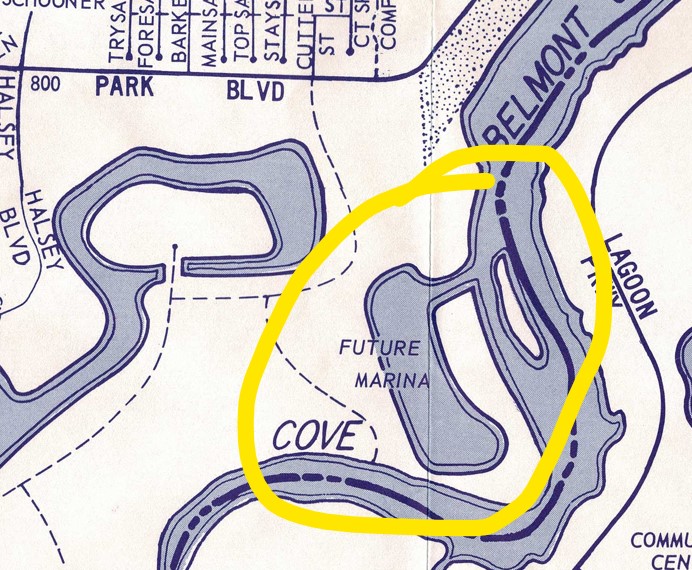
There is a school site at Catamaran & Shell Blvd, today there is a school at Beach Park Blvd and Shell.