Foster City Neighborhood 5
In 2010-2011 Kavin Gardiner assisted the City of Foster City with the existing conditions analysis for the Land Use & Circulation Element of its General Plan. This involved lots of photos.
Foster City is a master-planned “new town” founded in the 1960s on engineered landfill in the marshes of the San Francisco Bay. The city was named after T. Jack Foster, a real estate magnate who owned much of the land comprising the city and who was instrumental in its initial design.
The neighborhoods in Foster City are numbered: Neighborhoods 1 through 9, as well as C, L, PT, TC and VP. The street names area also named around themes such as fish, ports and famous explorers. Neighborhoods 1 and 2 were covered in a previous entry; followed by Neighborhoods 3 & 4 in a subsequent entry.
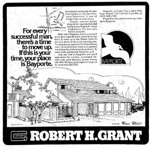
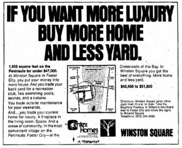
Neighborhood 5 was first Foster City neighborhood to be built out of order. It was developed in the 1970s, and consists entirely of multifamily condominium and cluster developments; there are no detached single family homes. The developments provide a showcase of 1970s architectural design and site planning, including the iconic white and blue “The Islands” and “Lido Island” condominiums which overlook Foster City’s Central Lake.
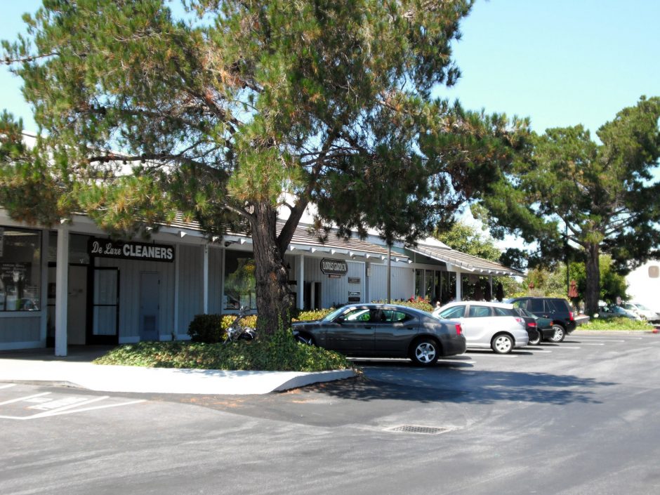
Neighborhood 5 also included the Charter Square shopping center, which is shown in this collection of photos but has since been torn down to build a new elementary school.